
Loop 1:
East/West Fork loop was the first. 6 miles up the road in the Red River upper valley the pavement ends and there is two dirt roads to go 1 mile to the east or west to the trail heads. We went up to the parking area of the East Fork. The trail is a very runnable trail that goes on an easy constant climb to Horseshoe and Lost Lake.
This is more of a personal trail since it is an area I have been hiking with my family since I was 4. My parents now live half the year in the upper valley of Red River and we always try to make it up once or twice a year. Most of our hikes start up the west fork but on this occasion we started on the east fork.


Horseshoe lake will be on the other side of the peak ahead. The trail loops around the contours of this area. We saw a few hiker on the way up but generally the trail to Horseshoe of Lost Lake are seldom used.

At this section, I ran ahead of Kelly since she did not want to due the 2 mile out-and-back to Horseshoe. I was able to push a solid uphill run to the top. This felt really good since just a week before we ran the Vermont 100 mile (me) and 100K (Kelly).


Following Lost Lake the trail descends down the to join up with the Middle Fork Lake trail and then back to the West Fork parking are. In our case, we were running late and I had my father waiting for us so we could have a real cooked breakfast and make our way back to Denver. Attached is the link to my Garmin report. We covered 12.25 miles and with 2,650 ft of climbing yet if we would have finished the loop we would got close to 15 miles.
http://connect.garmin.com/activity/2045769
Loop 2:
The next loop is the the Rocky Mountain National Park Tonalhutu / North Inlet 26.62 mile loop. Just above Grand Lake, Co is the trailhead for the hike. There is two parking lots with plenty of spaces. Below the parking areas the trail begins next to a utility building.


Old wooden irrigation pipe


Below are pictures of the cabin and barn built by Sam Stone a rancher in 1900


Below is where we waited out the storm

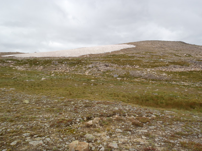
View of the saddle we climbed over below


At mile 13.25 we hit the highpoint of the hike at 12,276 ft


View of Bear Lake on the east side of RNP


This is the junction on the trail. Also 3.5 miles below is the Bear Lake parking area near Estes Park

Blow this picture up to see all the cairns marking the trail

Below and the next found of pictures are of the descent into the North Inlet Canyon


Blow this picture up you can see the switchbacks coming up North Inlet

I always need a marmot picture


Hallet Creek


Look at the quality of the trail


At mile 29 we had lunch - a few slices of left over pizza from Grand Lake Brewing


These pictures are of Cascade Falls 3.5 miles from the parking area. It is a very popular family hike


Garmin reading: http://connect.garmin.com/activity/209571454
Loop3:
Indian Peaks Kings Lake / High Lonesome / Devils Thumb loop is a 16 mile run located just a few miles from Nederland Co. The trailhead is 1 mile past Eldora and there is 2x2 parking on the road and 4x4 parking by the start. This would be our last workout before leaving to run the CCC and TDS in Chamonix the following week.
The trail goes 1 mile before deciding which direction to go; we decided to go west up the Kings Lake trail which for several miles use to be a road. Below are signs and first few sights at the beginning.


(Mile 6 we reached Kings Lake and then preceded another 1/2 mile to the pass above)


Devils Thumb


Garmin reading: http://connect.garmin.com/activity/220092540