Wasatch 100

Wasatch 100

Sunday, May 29, 2011

2011 Jemez 50K Race Report

2011 Jemez Mountain 50K Race Report (photos are at the beginning, videos at the end)

The Jemez Mountain 50 miler or my case the 50K are great training races moving into 100 miler season. I have been following the blogs of several elite ultra-runners who use this as a training race. This year we made the same decision except we did not register soon enough for the 50 miler. For us, logistics for the race was a simple 7 hour drive from Denver and a chance to see family in Red River after the race.

Course Background:
The race took place in the Jemez Mountains which are part of the Santa Fe National Forest. The start in the race was in Los Alamos neighborhood next to the trail head. Most of the course is on rolling single track with some quality climbs (7781 feet of climbing and 7781 feet of descending). 60% of the race was in trees and 40% in either burn area or some open meadows. Along the way runners had great view of the Jemez Mountains, Valles Caldera National Monument, and the Sangre de Cristo Mountains in the distance.


(Next 6 Photos are of the race start and first few miles)


The race began at 6:30am with clear skies, no wind, and temps in the 40s. It began with the only pavement section that lasted one mile before joining the single track trail that worked its way up a river bed to the Mitchell Trail head aid station (mile 4.4).


(Next 3 photos are of the 1540 ft climb up Mt Mitchel)


(old dam in Guaje Canyon at mile 8)

After a 2 mile runnable climb up the Guaje Canyon I arrived at the Caballo Base Aid Station. This is were I began the 2.4 mile 1816 ft climb to Caballo Mountain mile 11.9 (picture below).

Following the descent from Caballo and a bottle refill at the aid station (mile 14.3), I began a 1169 ft climb to the Pipeline aid station (mile 17).


(next two pictures are of that section)


The 5 1/2 mile section from Pipeline is my favorite part of the race. It has great views of the Valles Caldera, nice open meadows, lots of tree, and very runnable.


(Next two pictures are near the Pajarito Mountain Ski are and 19.8 aid station)


(Next 2 photos are of the 2.5 mile section from the pipeline return to Guaje Ridge aid station mile 26.2)


The section between Guaje Ridge and the Rendija aid station is a complete waste land from a previous forest fire. It was hot, dusty and barren. The positive was the 1792 foot descent.


(Rendija aid station mile 31.3 with it shade and comfy seats)

The race finished at mile 32.9 after back at the Posse Shack and sharp climb up a cliff. It was well organized and worth the trip. This a great race to get ready for the summer race season. For me I was able to see family on the way back and meet new friends. Below are videos of the race in the same chronological order. Enjoy.


Monday, April 18, 2011

2011 Desert RATS Trail Running Festival 25 Mile Race Report

This is a 25 mile loop course in the desert mountains outside of Fruita, Colorado. The trail has over 4,000 feet of climbing on mostly single track on the Kokopelli’s and adjacent trails with incredible views of the Colorado River through horseshoe canyons. The April 16th race began at 6:30am with temps in the high 30s and partly cloudy with about 40 fifty milers and over 150 twenty-five milers.


(The starting area)


The start was up a 1.5 mile road until it reached single track that switched back up 600 feet to one of the high points of the race and then back down to the first aid station. After about 2 miles of climbing on single track, the course began an 8 mile section where it ran along the horseshoe canyons. Not only is this a great area for trail running, it is a must do trip for hikers and mountain bikers. In this section, with out knowing it, the trail zig-zagged up the canyon. (Note there are videos below that may take a minute to load)


(Video in first half mile)


(Coming off the first climb)


(This and the next video are of the horseshoe canyons)


(13 mile aid station)


(This is a good view of the horseshoe sections and where the course zig-zaged above)


As you climbed up the next level you could see the trail and runners below. Eventually the trail moved north and back down to the 19.1 mile aid station before 2 mile climb up a road before finding more single track at the very top of the mountain. At this point once again, the view was of all the trails below and the Colorado River on a two mile section running on top of the mountain.


(Mile 17ish moving north toward I-70 and the last aid station)


(This is the very top section at mile 22ish)


The last two miles was a fast two mile switch back descent back to the road and then to the finish. This was where a few of the 50 milers were beginning their return trip in the opposite direction.


In conclusion, I finished in 4:35:05 and then enjoyed some Mexican food and visited two of the local breweries. I would highly recommend this well supported trailrace.

Sunday, March 13, 2011

Ryan Martin’s 2011 Run Through Time Marathon Salida Colorado

If you are looking for an early season marathon or training race to prep for the summer ultra running season this is a great destination. It takes place in mid-March in Salida Colorado. The course has 6 miles of trail, 8 miles of Jeep road, 11 miles of dirt/gravel, and only 1.5 miles of pavement. As for elevation change is has a 4,950 ft assent and 4,950 ft descent

(The following 4 pictures are of the start area)


(some elite runners below including Nick Clark and Geoff Roes)
The race begins at the old rail track across the Arkansas River near downtown Salida. After a sharp up clime in the first half mile and the quick pavement section the race has a long steady 2000 ft climb up the dirt/gravel road into the foothills above the city to the highpoint at the 10.4 mile aid station and then returns down the same road to mile 13.6. This three mile section if fun for a runner spectator (myself) to watch some the some of the greatest ultra runners in the country fly past on their downhill.
(This about mile 4 on the long dirt/gravel road)

(Views of the Collegiate Peaks)
(Video of Geoff Roes doing the race as a training run)


(The beginning of a steep climb to the 10.4 mile turn around)
(near the top of the climb looking back at the above picture)
(View from the top)
(Video from the top)

After a quick bottle fill at the 13.6 mile aid station the course turns to jeep road that winds up and down numerous hills until it begins a more aggressive down hill with great views of the Collegiate Peaks and the town of Salida.
(Between mile 15 & 18 on the jeep road)
At mile 20.1 aid station, the course switched to the new single track trail that had some great technical sections for the first three miles and one steep climb.
(next two videos and pictures are of the new single track sections mile 21-24)


The last four miles of the single track was mainly a gradual descent to the track and only 1/3 mile to the finish. In the end I was the last sub 5 hour finisher at 4:57:52 in 63rd place.

This was my 5th trip for this race (one year I did the half), and I would highly recommend it to anyone for a great training race, wonderful views, well organized , and it nice to see some of the best ultra runners in the country. When you are done with the race, be sure to enjoy a craft beer and a wood fired pizza at Amica’s.

Thursday, March 3, 2011

Ryan Martin’s 2011 Mt. Cheaha 50K Race Report

The Mt. Cheaha 50K trail race, which is part of the Montrail Cup, is located near Oxford AL, which is between Birmingham and Atlanta. We arrived in Birmingham on Friday, and after exploring the city, we drove to the race check in. To ensure a good race we had our ritual pizza and a beer which helped us have a good night sleep.

The next morning we were off by 4:50am to Starbucks and then to the finish line for a bus ride (on a caged sheriff bus) to the start. We had perfect weather with sun, temps in the mid 40s, and no wind. Most of the race would be on the Pinhoti trail which is an Appalachian Trail connector from Alabama.


The beginning was great with the trail being covered in pine needles and rolling hills with the company of lots of racers. I was especially happy with my pace on this first part since I made past the first aid (Chandler Springs 3.34 miles) before a train crossed the path and delayed some other runners.

Following the second aid station we had a switch backing climb to a point with some great views of the surrounding hills/mountains. Before we hit the third aid station we were on a fast moving road for about a mile (see video at the bottom of the report).


The next section of the trail was the most challenging and different from western trails. Much of the forest is covered with leafy trees that had fallen on the trail and made it difficult to determine the true trail condition. Underneath the leaves in the next two sections were rocks that were obstructed by the leaves and I had no desire to twist my ankle by trying to go too fast.


For scenery the sections between the Hubbard Creek aid station (mile 18.37), and departing the Lake Chinnabee aid station (mile 21.97) were my favorites. The first part was running along a stream followed by several rolling hills until the descent where we crossed the Chinnabee creek. After a quick out and back, we ran a above the Chinnabee creek overlooking some great summer swimming holes. After a few miles, we reach the Skyway Motorway which was a road that lasted for several miles until we reached the Lake Cheaha aid station (mile 27.9).


After a bottle fill and trash drop it was the last leg of the race to the top of Mt. Cheaha. The first mile was the most challenging with a very steep climb with some scrambling to the top. At the top of the climb, we still had about 1 to 2 miles of running before the finish. In the last stretch, we had some pavement running as we past the summit of Mt. Cheaha before a final section in the woods to the finish. My time was 6:39:24


Personally, I started with an aggressive pace since I had not done a long run since the North Face 50k in December but I had start slowing down about mile 15. This still worked since my goal was to push hard to determine my current conditioning.
In conclusion, The trails were clean, scenery great, well organized, and nice people. I would highly recommend this race.
Below are four videos at various point through the race:

Sunday, February 13, 2011

Winter Cross Training 2011

The months of January and February are my off months (except one 50k). I will torture myself on the treadmill and take advantage of trips to Phoenix and Austin for trail running. I try to maintain about a 35 mile week and most importantly Ski Season!

I could take pictures of the treadmills yet I think some of my ski videos are more entertaining.

Saturday, December 11, 2010

2010 San Francisco Northface Endurance Challenge 50k Championship

The Northface San Francisco Endurance Challenge 50K Championship is held in the Marin Headlands just north of the Golden Gate Bridge. They hold numerous events including a 50M, 50K, Marathon, Marathon Relay, Half Marathon, 10K and 5K (something for everyone). This is our 4th Northface event and they are all worth the trip. They are very well organized, near metro area and in great natural location. This 50K race has 7 major climbs totaling over 13,206 feet of elevation change on single track and fire roads.

7am Race Start Myself Ryan and then my girlfriend Kelly below.


The Starting Line


Starting Video

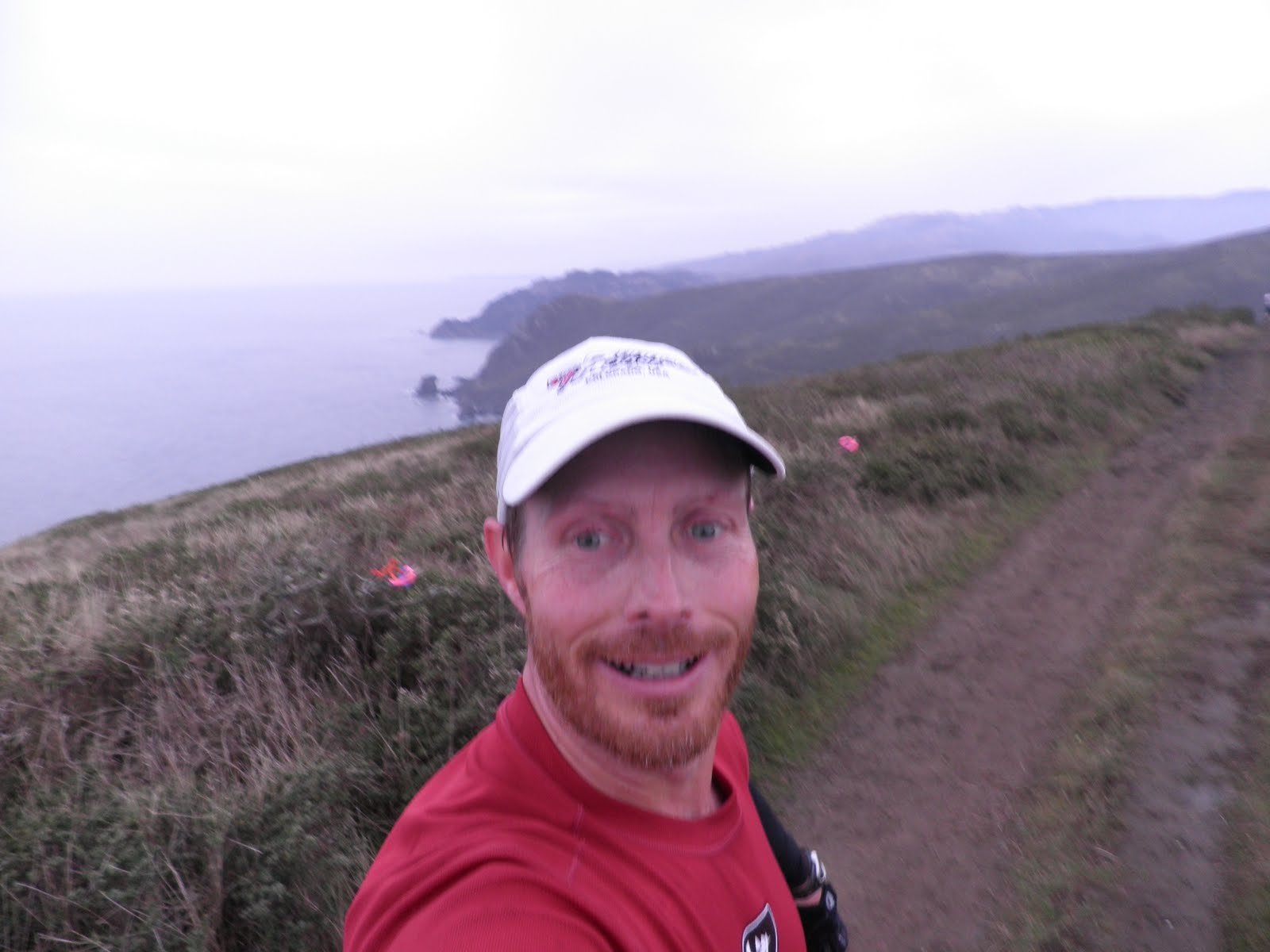
The run to Muir beach winds along the cliffs overlooking the Pacific. The picture below is the muddy fire road that drops down to Muir. The weather was mostly cloudy with start temperatures in the upper 40's. We had drizzle and light rain half the time with light winds especially in the exposed areas.


Video along the ocean cliffs

The next three pictures are between Muir Beach and the Boodjack aid station at mile 14. This is the longest climb of the race yet I was able to run most of it due to the many switchback (see 2nd picture below).


Approaching Bootjack (Below)


The next 3 pictures are my favorite part of the race. It is on the Bootjack trail in the Muir woods. The trail is mostly technical single track on steep down hill with tree roots and rocks.


Muir Woods Running Video

This is the muddy trail heading back to Tennessee Valley. With the added rain and additional runners it was like running in a pig pen uphill.


Last Video

Final ocean view
Second to last hill (1.5 miles to Tennessee Valley)

View towards Mill Valley off the 101 as I climb the last hill of the race.


Kelly on her last half mile of the race. She beat her previous time from two years ago.

Yea, we had some laundry after the race.
This was a very fun race that I am sure we will do again. We able to enjoy the sights and challenges of the run and then enjoy the sight of Northern California. If you are a wine drinker you are real close to Sonoma. Yes, as a craft beer drinker I did visit the Gundlach Bundschu Winery but quickly went to the Lagunitas tap room. Also, we did the night tour of Alcatraz.


Kelly and I both felt good about our times on the race. She set a PR and I came in 53rd place with a time 6:10. I had no blister or banged up toes thanks to my La Sportiva Wildcats. Finally, congratulations to Shipmate, Paul Terranova from Austin, for his 2nd place finish.