
In the mountains west of Sheridan, Wyoming, is
the playground for the Bighorn 50 mile trail race. Bighorn is now in its 20th year
now hosting 30k, 50k, 50 and 100-mile events on the same weekend. This was my second experience after
completing the 100-mile race in 2009.

6:00am the race began with elite runners taking off with a
near sprint into the trees along a jeep road.
The first few miles were packed with runners as we ran up-and-down snow
packs and dodging mud bogs. Quickly, we
got off the jeep road to single track hitting the high point of the race in
high alpine meadow.


The trail moved into a decline that would last for the next
15 miles following several drainages.
The views were spectacular which made up for the challenging
conditions. Much of the fist 5 miles we
had to battle through muddy marsh areas and many tiny creeks. There were even a few runners who lost their
shoes in the mud. Personally, I could
not see my shoes or legs due to being covered in mud.
In the first 8 miles, I kept a good pace and my ankle, which
I injured a month before, was feeling good.
Yet sure enough, I tweaked it on a rock, which scared me enough to walk
it off for few minutes. I took advantage
of the break by removing my cold weather gear, fix my bladder hose that was
pinched, and to take a few pictures.
After the pain went away, I decided to resume my run but at a slower
pace.


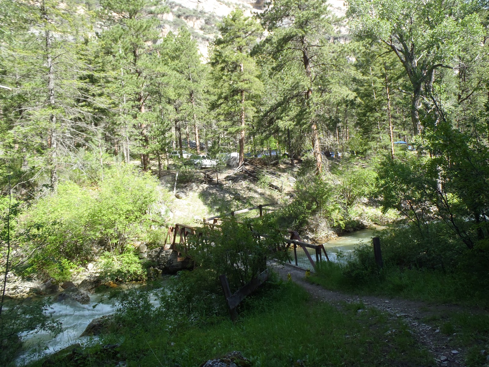
Near the mergers of the Little Bighorn and Dry Fork canyons,
I reach the Foot Bridge aid-station at 4,200ft and 18 miles. There I had a drop-bag with spare shoes,
socks, and sunblock. I decided my feet
were fine and I still had a spare set of sock in my pack so I kept what I had
on, sprayed on the sunblock, pulled out my trekking poles and refilled my
bottle and bladder. I was out in 10
minutes.

Next up was a 2,000ft climb in 3 ½ miles; this
was the reason for the poles. At mile
21.5, I reached the Bear Hunting Camp aid-station where I refilled my bottle
and repacked my poles.


The next 13 miles had become more runnable yet still
climbing to 7,600 feet with many up-and-down sections of single track and jeep
roads. This part of the race is when I
started to feel the heat and despite drinking all the fluids in my bottles with
refills at the aid-stations I battled leg cramps though much of the day. Looking back I should have drank more early
and took more sport legs.


After leaving Kerns Cow Camp Aid-station, the race joined
the 50k runners, so I got to see a mix of 100 milers to 50k runners. At mile 30, I was able to look across a long
valley the Dry Fork aid-station (mile 34).
This is always a mental challenge because you see a long descent and
then oncoming climb. In reality, it was
not as bad as it looked and before long I made to Dry Fork. I refilled my bottle and skipped all the
great looking food. Unless it is a 100k
or 100 milers, I will stick exclusively to my Gu Roctane for nourishment.


The next 5 miles was the only easy part of the
race following smooth gravel roads and good single track to the Upper Sheep
Creek aid-station at mile 39. Again, I
pulled out my trekking pole for the last and steepest climb to the top of Horse
Creek Ridge at 8,000ft. The view was
amazing looking at the upcoming descent into the Tongue River Canyon and the Great
Plains in the distance.


To give my legs additional pleasure the trail would quickly descend nearly 4,000ft in 6 miles following to the road below. In 2009, I was able to run this section (event with the added 50 miles) not this time – my legs were shot.


At the Tongue River aid-station (mile 46.5), the course hit
smooth slight downhill road that would lead to the finish. I was able dig in and run .20 miles with a .05-mile
walk which was enough to push me in. If
I were to name the road, I would call it the road of the Walking Dead, with
everyone on a death march to the finish.


Finally, with 11:54:36 of running I made it to the finish
meeting my goal time of 10-12 hours. I
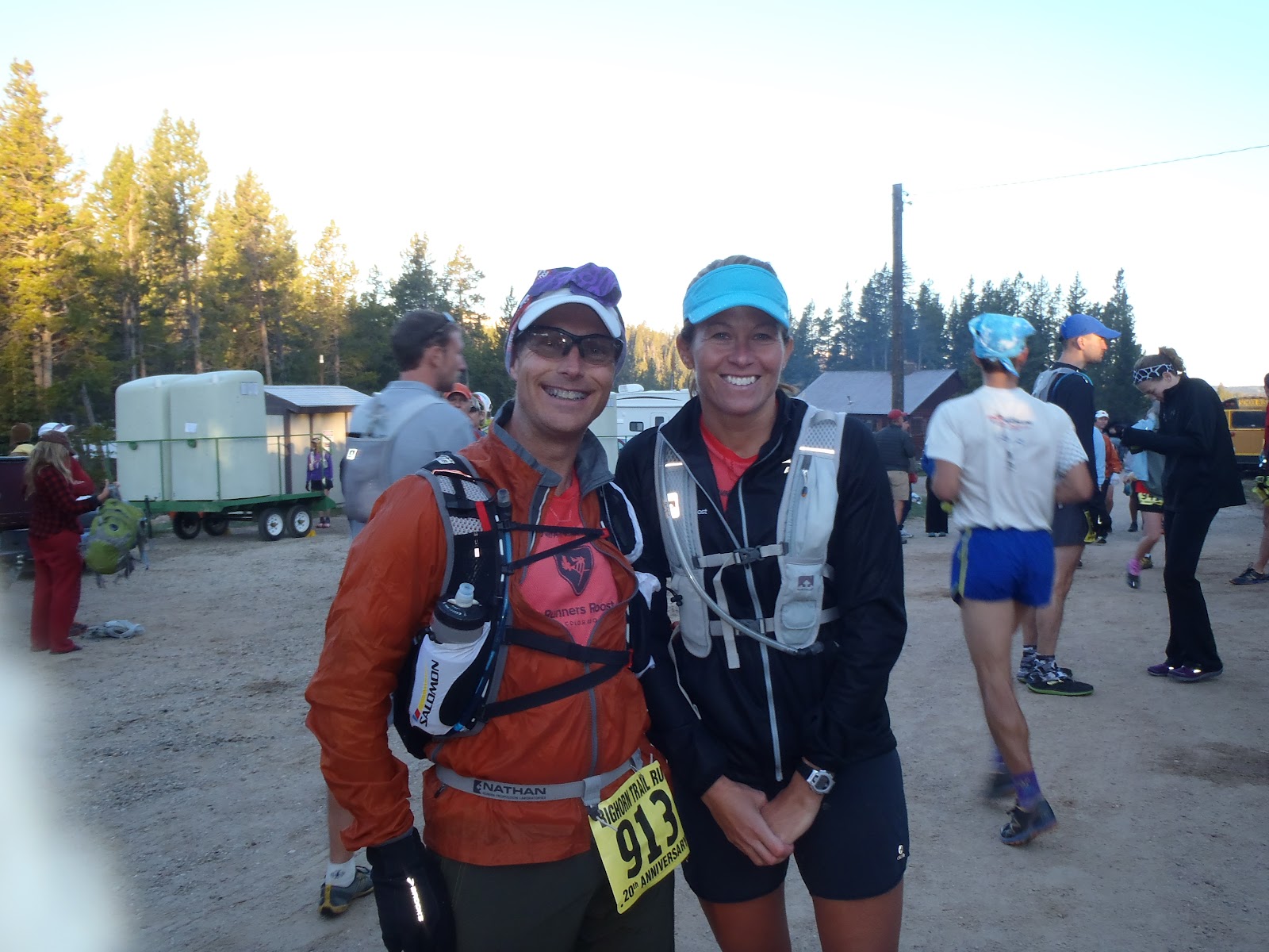
came in 63rd place and 9th in my age group. Waiting for me was Kelly Goode who had a good
50k finish and a cold beer in hand.
In Conclusion, Bighorn is a must. It is well organized, very
scenic, and very challenging. According
to my Garmin 910, I descended 12,736ft and climbed 8,258 in nearly 52 miles.
Hi Ryan,
ReplyDeleteThanks for the race report, it sounds like a fun and beautiful race. I am planning on running the 50mile in 2013 and I am looking for some training advice. Would you recommend training specifically for the downhill? Are the downhills technical or are they mostly on dirt road? How is the terrain on the flat sections? My biggest problem in past races has been with blisters due to grit in my shoes. Is the course pretty dusty? I am hoping to come in under 11hours, and I know that will be a challenge so I can use all the help I can get. Thanks for your help,
Joanna
Hi, Ryan. Do you keep your garmin links and would you be willing to share? I would like to look at the climbs specifically. The website says 5500 feet gain and garmin saying 8 is big difference. I am not terribly worried about making the cutoff but it would be nice to know what is ahead of me for climbs.
ReplyDelete